Kohlgrubweg | Bürserberg

Distance2,2 km

Elevation gain85 m

Negative altitude79 m

LevelEasy

Duration0:45 h

Distance2,2 km

Elevation gain85 m

LevelEasy

Duration0:45 h

A short moment

Loading map...

Kohlgrubweg | Bürserberg

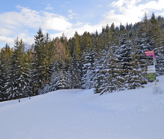
From the car park at the Einhornbahn II (above the Brandnertal holiday park), take the path to the right past the ski lift. This leads you through a wooded area and further up you cross the Mühlebach stream and soon reach the Burtschaweg trail and the high plateau of the Alpe Rona. Return via the road past the Tschengla hikers' car park and a few places to stop for refreshments in the Dunza district to the car park at Einhornbahn II.

Equipment

Sturdy shoes, warm clothing and walking sticks are recommended. Cell phone in case of emergency.

Route description

Start: Car park Einhornbahn II, Bürserberg

End: Car park Einhornbahn II, Bürserberg

Einhornbahn II valley station - Kohlgrubweg - bridge over Mühlebach - Burtschaweg - Alpe Rona high plateau - Tschengla hikers' car park - driving road - Einhornbahn II valley station

Properties

  • Round trip
  • Refreshment stops available

Emergency services

140 Alpine Emergencies throughout Austria

144 Alpine Emergencies Vorarlberg

112 Euro emergency call (works with any mobile phone/network)