Lünersee Trail | Brand

Moderate
Cable car ascent/descent
Round trip
Trailrunning
01:00 h duration
6,07 km Length
2069 m Highest point
1965 m Lowest point
152 m Ascent
152 m Descent
Condition
Difficulty
Result
Landscape

Tour description

The Lünersee Trail offers guaranteed altitude training with variants up to over 2,150 metres above sea level.
Description

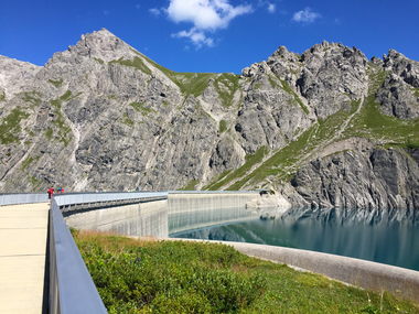
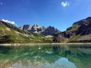
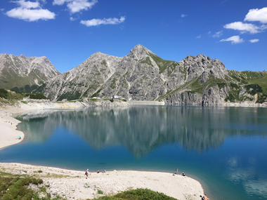
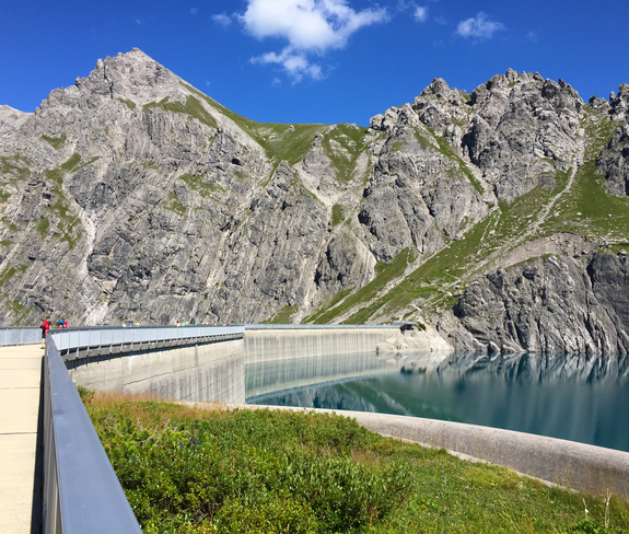
After the ascent with the Lünersee cable car, the trail starts directly at the mountain station. The Lünersee trail runs on the classic Lünersee circular trail once around the lake. If that is not enough for you, you can extend the tours either with the "Trail" variant or with the "Lünerkrinne" variant.

Approach

maps.google.at

Public transport

Bus line 580, bus stop "Brand Lünerseebahn"

Timetable enquiry online at www.vmobil.at

Parking

Parking at the Lünersee cable car valley station

Directions

Lünersee cable car valley station - ascent with the Lünersee cable car - Lünersee cable car mountain station - Lünersee circular trail - Lünersee cable car mountain station - descent with the Lünersee cable car - Lünersee cable car valley station

Safety instructions
EMERGENCY CALL

140 Alpine emergencies Austria-wide
144 Alpine emergencies Vorarlberg
112 Euro-emergency call (works with any mobile phone/network)

www.alpenregion-vorarlberg.com/sicherheitstipps-wandern

Equipment

Running shoes, sun and rain protection, filled water bottle, snack (as you wish) and first aid equipment. Mobile phone for emergencies.

Destination

Lünersee cable car mountain station

Starting Point

Lünersee cable car mountain station

Characteristics
Tour type Trailrunning
Difficulty Moderate
Elevation profile
Best time of year
Jan
Feb
Mar
Apr
May
Jun
Jul
Aug
Sep
Oct
Nov
Dec