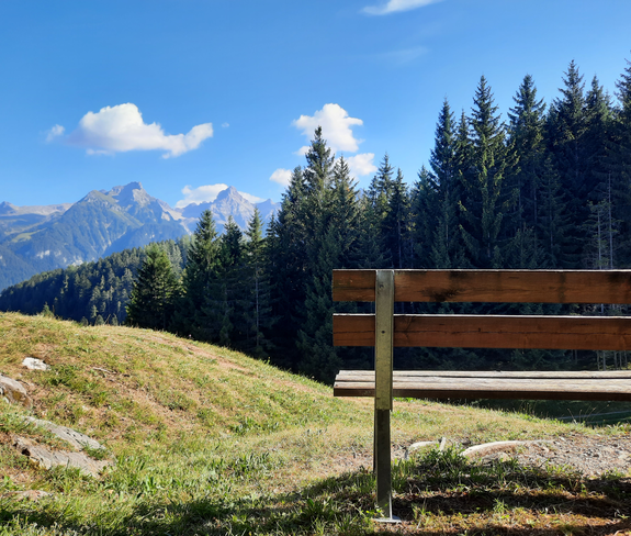
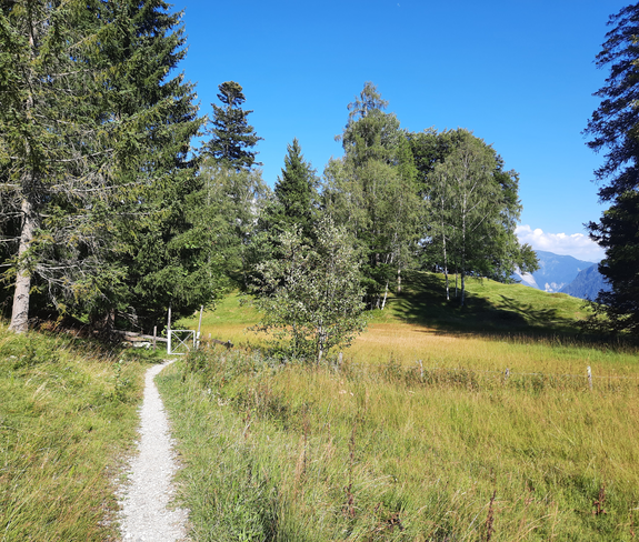
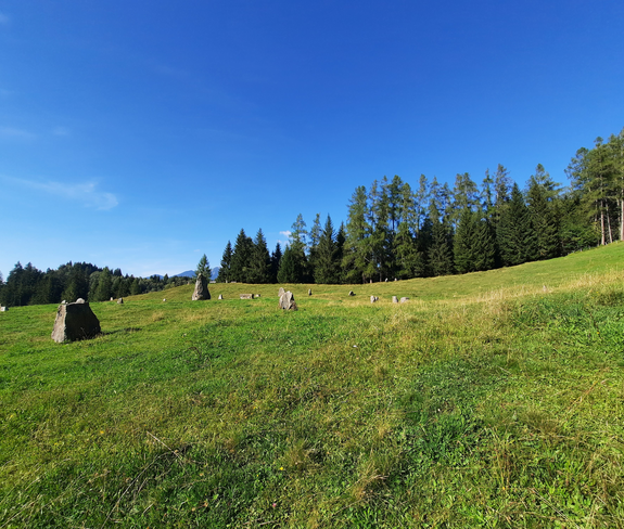
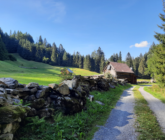
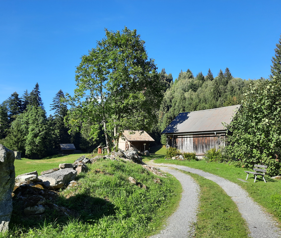
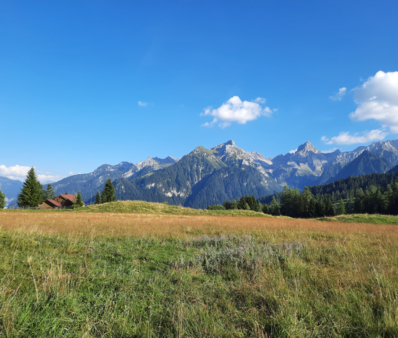
Mottakopfweg | Bürserberg

Easy
Panoramic
Family-friendly
There and back
Wanderung
01:30 h duration
4,42 km Length
1230 m Highest point
1156 m Lowest point
124 m Ascent
124 m Descent
Condition
Difficulty
Result
Landscape

Tour description

Pleasantly short hike to Mottakopf on the Tschengla high plateau.
Description

The starting point of this short hike is at the Tschengla hikers' car park. From here, take the hiking trail down to the Doppelhaus and from there over the Unterer Stafel and past the stone circles straight on to Plattenbachtobel and the district of Vilschena. Continue up the slope to Mottakopf, a beautiful vantage point. Return via the same path or via Alpe Rona.

Approach

www.maps.google.at

Public transport

Bus line 580, stop "Gemeindeamt Bürserberg" continue with Tschenglabus according to timetable

Timetable online at www.vmobil.at

Parking

Car park Tschengla, Bürserberg

Directions

Car park Tschengla - hiking trail - Doppelhaus - Unterer Stafel - stone circles - Plattenbachtobel - Vilschena - Mottakopf - same way back.

Safety instructions
EMERGENCY CALL

140 Alpine emergencies Austria-wide
144 Alpine emergencies Vorarlberg
112 Euro-emergency call (works with any mobile phone/network)

www.alpenregion-vorarlberg.com/sicherheitstipps-wandern

Equipment

Good footwear, warm clothing, rain and sun protection and hiking poles are recommended. Cell phone for emergencies.

Destination

Car park Tschengla, Bürserberg

Starting Point

Car park Tschengla, Bürserberg

Sicherheitstipps für Wandern in Vorarlberg

EN NOTRUF:

EN 140 - Alpine Notfälle österreichweit 

EN 144 - Alpine Notfälle Vorarlberg 

EN 112 - Euro-Notruf (funktioniert mit jedem Handy/Netz) 

Characteristics
Tour type Wanderung
Difficulty Easy
Elevation profile
Best time of year
Jan
Feb
Mar
Apr
May
Jun
Jul
Aug
Sep
Oct
Nov
Dec