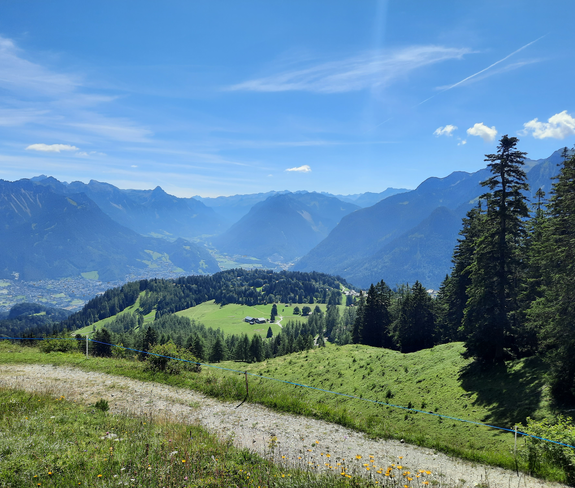
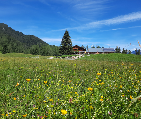
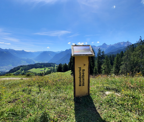
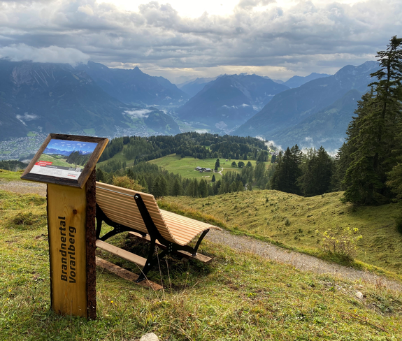
Rona circular route | Bürserberg

Easy
Refreshments
Round trip
Wanderung
01:15 h duration
2,83 km Length
1446 m Highest point
1236 m Lowest point
210 m Ascent
210 m Descent
Condition
Difficulty
Result
Landscape

Tour description

Beautiful circular trail above Alpe Rona on the Tschengla high plateau.
Description

From the Alpe Rona, the trail leads to the Kneipp station and from there via two shortcuts along the hiking trail uphill. As soon as the forest road would be crossed the second time, branch off to the left on it. Now follow the forest road until the hiking trail branches off to the right again - now via a steep right hiking trail uphill until you reach the forest road again. Turn right again on the forest road and hike to the Glinzgieck viewpoint. Alternatively, you can continue along the forest road to the Glinzgieck. After a leisurely rest at the lookout point, take the hiking trail back to Alpe Rona.

Public transport

Bus line 580, stop at Bürserberg municipal office continue with Tschenglabus line 581 according to timetable

Timetable online at www.vmobil.at

Parking

Tschengla Hikers' Car Park

Directions

Alpe Rona - Kneipp point - branch off from hiking trail onto forest road - branch off to the left - forest road - branch off to the right - hiking trail - branch off to the right - forest road - Glinzgieck viewpoint - hiking trail - Alpe Rona

Safety instructions
EMERGENCY CALL

140 Alpine emergencies Austria-wide
144 Alpine emergencies Vorarlberg
112 Euro-emergency call (works with any mobile phone/network)

www.alpenregion-vorarlberg.com/sicherheitstipps-wandern

Equipment

Sturdy shoes, appropriate clothing, rain and sun protection, snack, filled water bottle and hiking poles are recommended. Mobile phone in case of emergency.

Destination

Alpe Rona, Bürserberg

Starting Point

Alpe Rona, Bürserberg

Sicherheitstipps für Wandern in Vorarlberg

EN NOTRUF:

EN 140 - Alpine Notfälle österreichweit 

EN 144 - Alpine Notfälle Vorarlberg 

EN 112 - Euro-Notruf (funktioniert mit jedem Handy/Netz) 

Characteristics
Tour type Wanderung
Difficulty Easy
Elevation profile
Best time of year
Jan
Feb
Mar
Apr
May
Jun
Jul
Aug
Sep
Oct
Nov
Dec