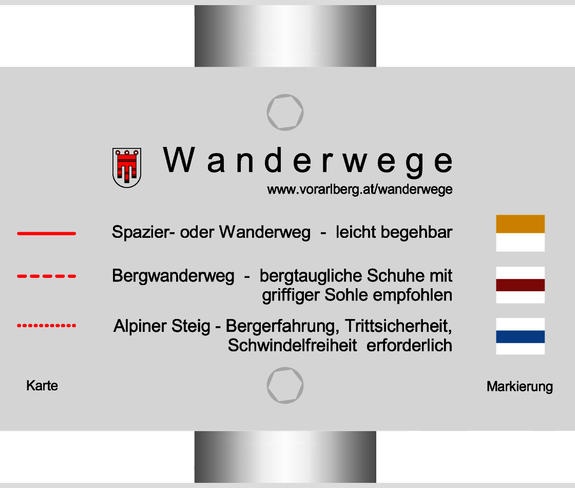
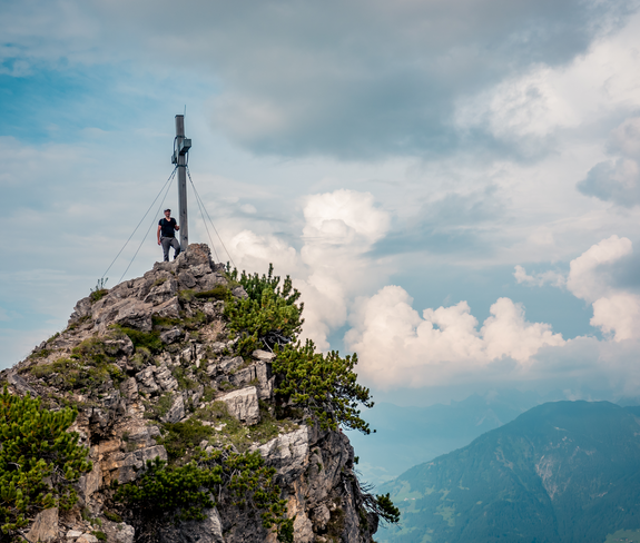
Start this mountain hike at the Tschengla hiking parking lot. From there, follow the goods road for a short distance and then continue on the hiking trail across alpine meadows and forests up towards Schillersattel. The hiking trail repeatedly crosses the "Alte Statt" goods road before you tackle the ascent to the Schillersattel. At the Schillersattel you have the possibility to make a detour to the Mondspitze (additional walking time to the summit: 25 min). From the Schillersattel, the path up to the summit of the Schillerkopf becomes a bit more challenging, but opens up great views of the natural monument "Kessiloch". On the last few meters towards the summit, a taut steel cable serves as a safety measure; sure-footedness and a head for heights are a prerequisite here. At the top, a fabulous view of the surrounding mountains and valleys opens up to you. The first part of the way back follows the same path until you reach a parting of the ways a little below the summit. There you branch off and descend via the relatively steep climb. At the bottom of the goods road follow the signs back to the Tschengla plateau.
 © Thorsten Günthert
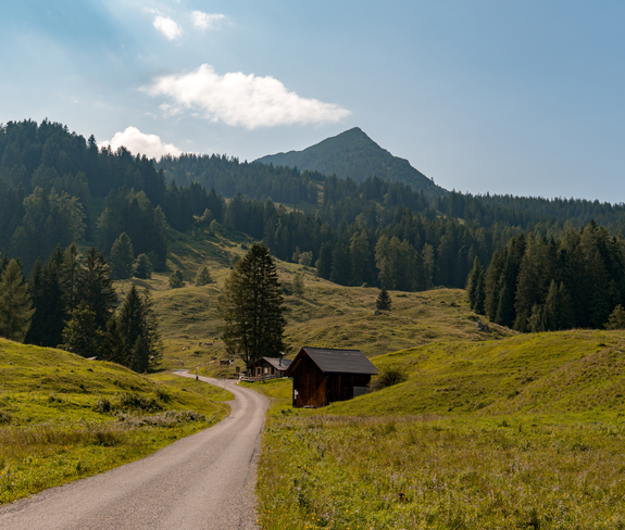 © Thorsten Günthert
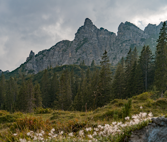 © Thorsten Günthert
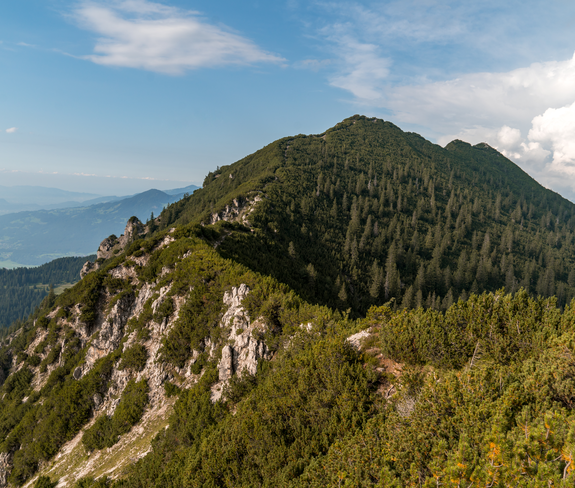 © Thorsten Günthert
 © Thorsten Günthert