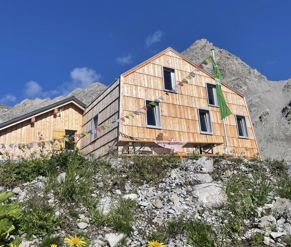
After the ascent with the Lünersee cable car, the trail starts directly at the mountain station. The Totalp trail runs briefly on the Lünersee circular route before it branches off to the right in the direction of Totalphütte. From here it goes uphill to the hut, back it goes the first part on the same way, then the trail leads us right under the Gamsluggen again down to the Lünersee. Continue again on the Lünersee circular trail to the starting point.
 © Anna Engstler
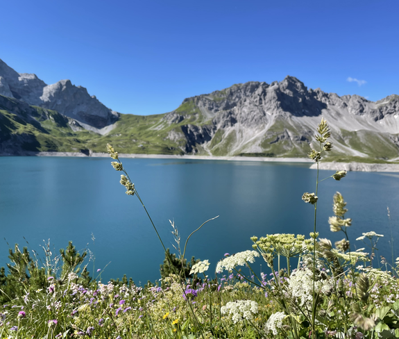 © Dajana Baumgartner
