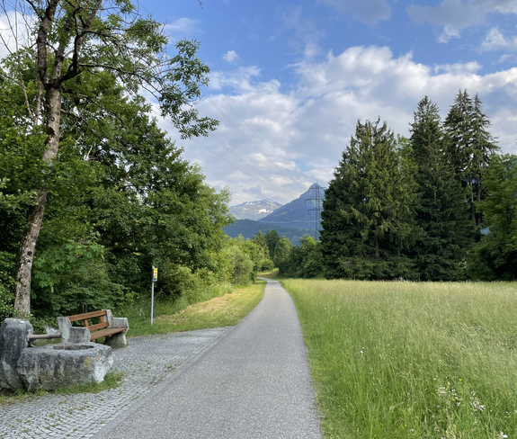
From Bludenz it goes first along the Ill to Brunnenfeld. From the junction at the Bludenz-Montafon motorway exit, take secondary roads through Lorüns, then briefly along the main road and then shadily along the Ill into the valley. You pass Vandans and the large compensating basins at Rodund power station and arrive at the beginning of Schruns and Tschagguns. The cycle path remains very close to the Ill. Shortly before Galgenul it touches the main road, then one drives on again in the valley floor. You pass St. Gallenkirch and Gortipohl and reach Gaschurn. The road to Partenen continues along the main road. The return journey is the same way. From Schruns you can take the Montafonerbahn back to Bludenz.
 © Alina Lerchl
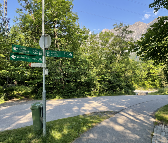 © Alina Lerchl
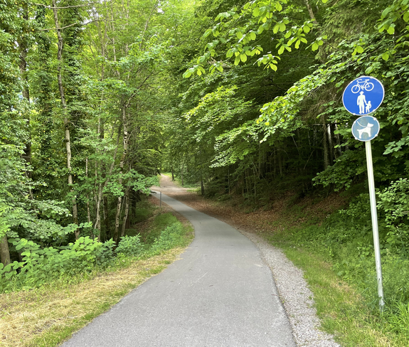 © Alina Lerchl
 © Alina Lerchl