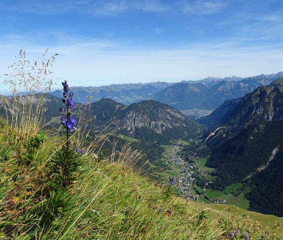
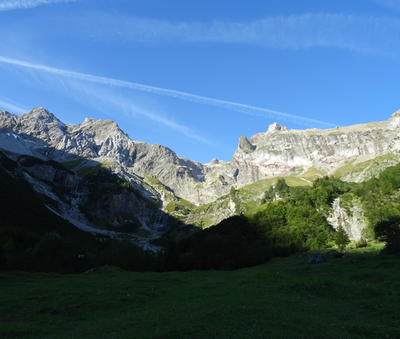
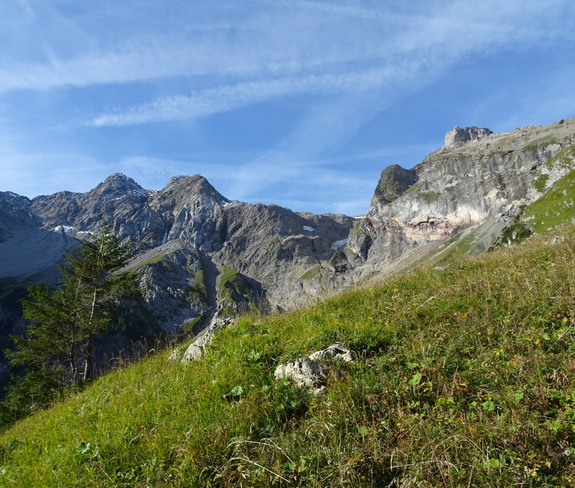
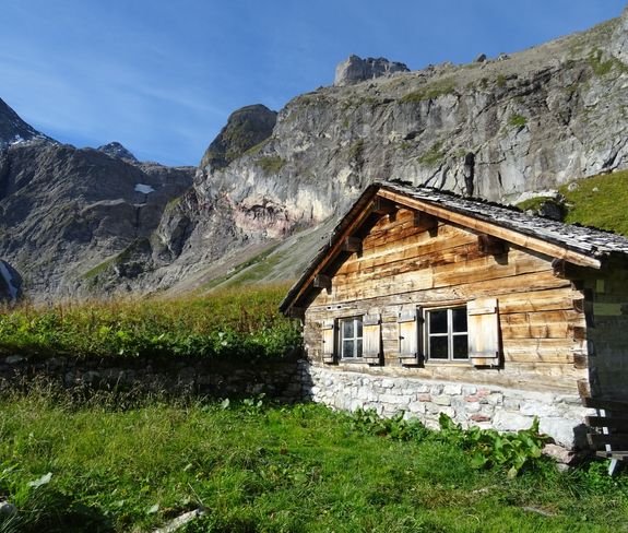
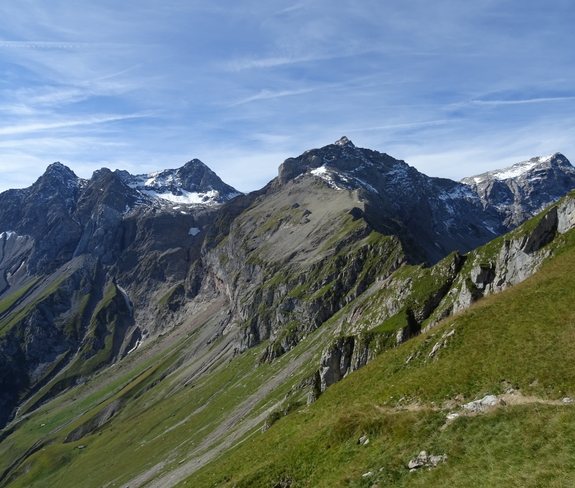
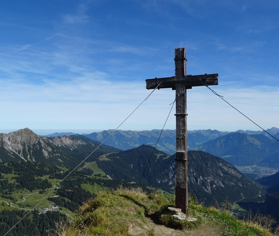
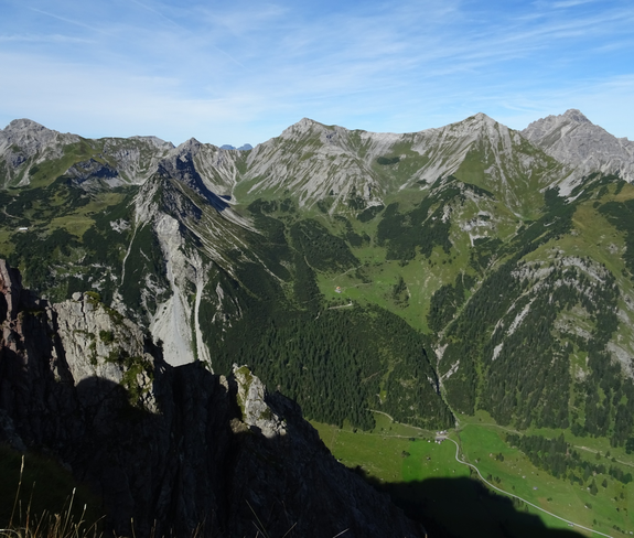
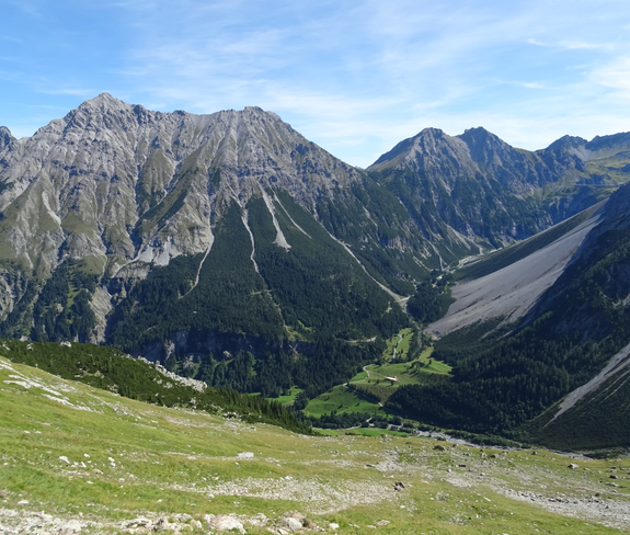
Mottakopf, 2.176 m | Brand

Hard
Panoramic
Summit tour
There and back
Exposed
Bergtour
06:30 h duration
17,5 km Length
2176 m Highest point
1061 m Lowest point
1610 m Ascent
1610 m Descent
Condition
Difficulty
Result
Landscape

Tour description

Very beautiful mountain tour on the Brandner local mountain "Mottakopf", which is rewarded with a fabulous panoramic view.
Description

From Brand Innertal, the trail leads on the left side of the Alvier into the valley in the direction of Schattenlagant, past the Kesselfall to the "Gletscherbachbrücke/Mottakopf" junction. Here the trail branches off to the right. After a short stretch, you cross the Schattenlagant road and reach the Gletscherbachbrücke bridge. From here, the mountain tour leads in several serpentines up to the Obere Sonnenlagant Alpe. For experienced hikers, the trail continues from here with white-blue-white markings up to the summit of the Mottakopf. At the top, in good weather, you can enjoy a fabulous view of the surrounding mountains of the Rätikon. The trail leads back along the same route or, in the last section at the Kesselfall, you can cross the stream and descend towards the Brand Innertal valley. Attention: This tour is not recommended in wet conditions!

Approach

www.maps.google.at

Public transport

Bus line 580, stop "Sonnenlagant"

Timetable check online at www.vmobil.at

Parking

Car park in Innertal, Brand

Directions

Innertal - footpath in the direction of Schattenlagant - turn off at "Gletscherbachbrücke/Mottakopf" - alternatively take the bus L 81 to the "Sonnenlagant" bus stop - Schattenlagantstraße - Gletscherbachbrücke - hiking trail in the direction of Mottakopf - Obere Sonnenlagant Alpe - Mottakopf - same route back or the last section via Kesselfall and the left bank of the stream out of the valley

Safety instructions
EMERGENCY CALL

140 Alpine emergencies Austria-wide
144 Alpine emergencies Vorarlberg
112 Euro-emergency call (works with any mobile phone/network)

www.alpenregion-vorarlberg.com/sicherheitstipps-wandern

Attention: This tour is not recommended in wet conditions!

Equipment

Strong footwear, warm clothing, rain and sun protection and hiking poles are recommended. Cell phone for emergencies.

Tips

If this tour is a little too far for you, you can take the bus L 81 to the "Sonnenlagant" bus stop and save yourself the first few metres of the tour.

Destination

Innertal, Brand

Starting Point

Innertal, Brand

Sicherheitstipps für Wandern in Vorarlberg

EN NOTRUF:

EN 140 - Alpine Notfälle österreichweit 

EN 144 - Alpine Notfälle Vorarlberg 

EN 112 - Euro-Notruf (funktioniert mit jedem Handy/Netz) 

Characteristics
Tour type Bergtour
Difficulty Hard
Elevation profile
Best time of year
Jan
Feb
Mar
Apr
May
Jun
Jul
Aug
Sep
Oct
Nov
Dec