Via Gasünd to Radin | Bludenz

Easy
Panoramic
Family-friendly
From A to B
Wanderung
01:30 h duration
4,12 km Length
804 m Highest point
572 m Lowest point
244 m Ascent
138 m Descent
Condition
Difficulty
Result
Landscape

Tour description

Varied meadow and forest paths lead on this tour via Gasünd, to St. Leonhard and on to Radin.
Description

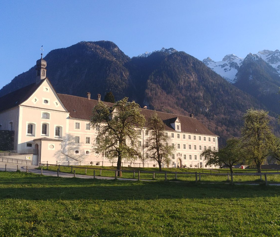
This tour starts at the monastery of St. Peter in Bludenz. From there take the hiking trail up to Gasünd, descend at the turnoff to St. Leonhard and hike the last stretch down to Radin. Return to the starting point by bus.

Approach
Public transport

Bus line 720, stop "Bludenz Friedhof" or "Bings Radin".

Timetable query online at www.vmobil.at

Parking

Parking spaces at St. Peter's Monastery, Bludenz

Directions

St. Peter's Monastery - Gasünd - St. Leonhard - Radin - back by bus to the starting point

Safety instructions
EMERGENCY CALL

140 Alpine emergencies Austria-wide
144 Alpine emergencies Vorarlberg
112 Euro-emergency call (works with any mobile phone/network)

www.alpenregion-vorarlberg.com/sicherheitstipps-wandern

Equipment

Ankle-high mountain boots with profiled sole, sun and rain protection, snacks, filled water bottle and first aid equipment. Mobile phone in case of emergency.

Tips

Enjoy the peace and quiet and the wonderful views along the way.

Destination

Radin, Bludenz-Außerbraz

Starting Point

St. Peter's Monastery, Bludenz

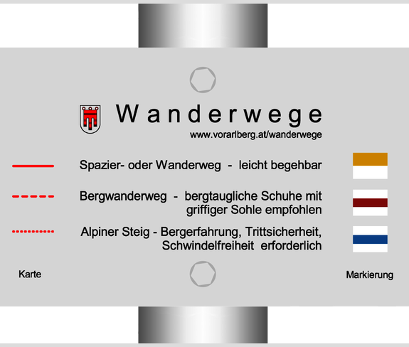
Sicherheitstipps für Wandern in Vorarlberg

EN NOTRUF:

EN 140 - Alpine Notfälle österreichweit 

EN 144 - Alpine Notfälle Vorarlberg 

EN 112 - Euro-Notruf (funktioniert mit jedem Handy/Netz) 

Characteristics
Tour type Wanderung
Difficulty Easy
Elevation profile
Best time of year
Jan
Feb
Mar
Apr
May
Jun
Jul
Aug
Sep
Oct
Nov
Dec