-
-
-
-
-
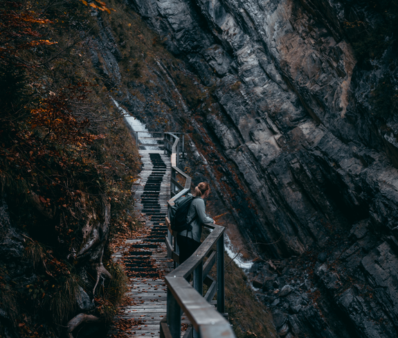
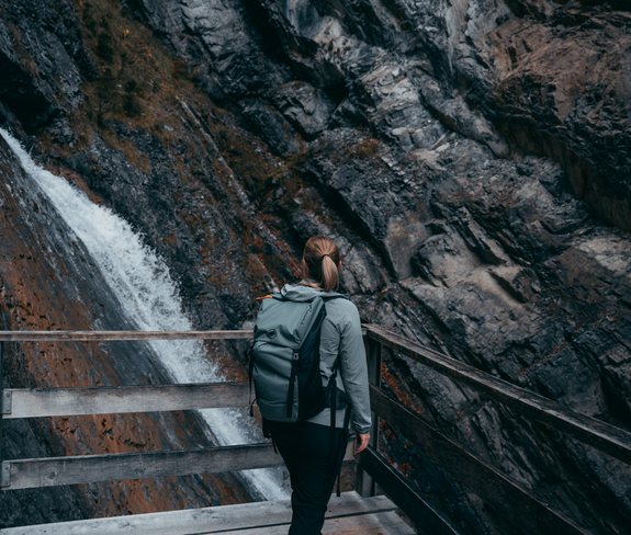
 © Alex Kaiser
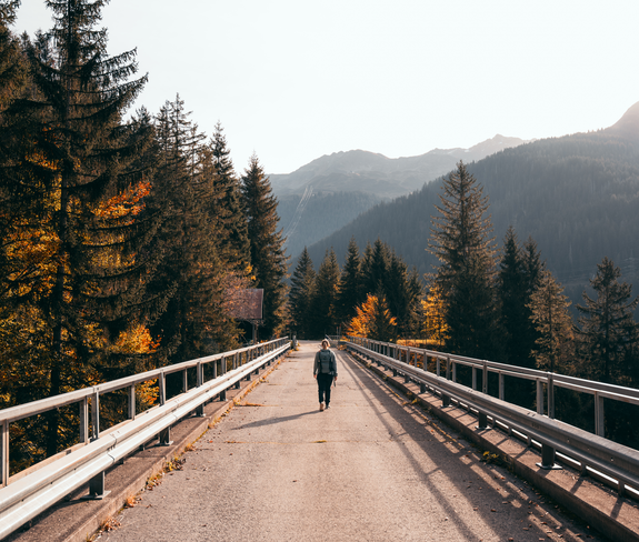
 -
-
-
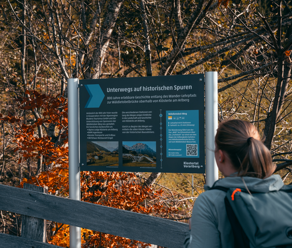
 © Alex Kaiser
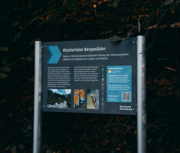
 -
-


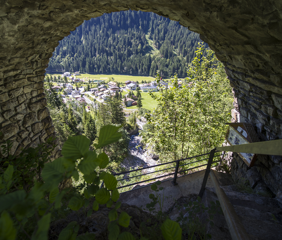
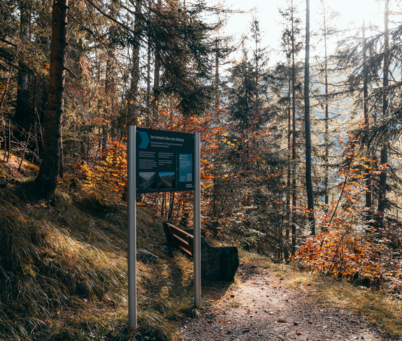
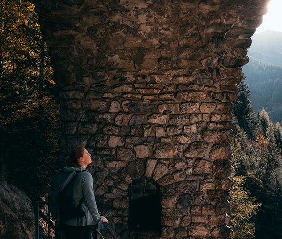
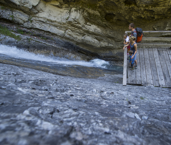
Wäldletobel-Weg | Klösterle am Arlberg
Themenweg

