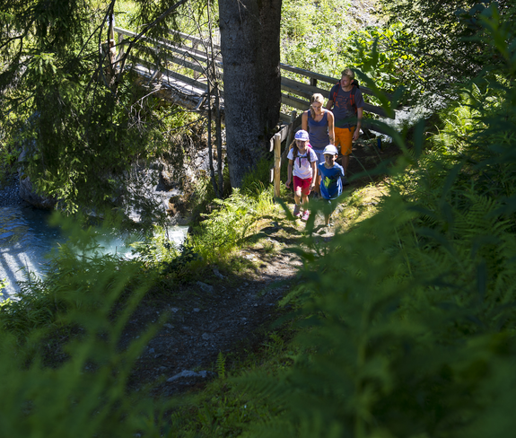
Circular hike | Klösterle am Arlberg

Distance3,0 km

Elevation gain46 m

Negative altitude46 m

LevelEasy

Duration1:00 h

Distance3,0 km

Elevation gain46 m

LevelEasy

Duration1:00 h

A short moment

Loading map...

Circular hike | Klösterle am Arlberg

Directly at the tourist office Klösterle am Arlberg follow the road a short distance out of the valley and then turn right onto the Sonnen-Weg. Now walk out of the valley until you reach the fork, which leads you in the direction of Arlbergerhof. At the level of the Arlbergerhof, cross the main road and continue to the Angerbrücke. Cross the Angerbrücke and continue along the hiking trail along the edge of the forest into the valley. At the Kulturhalle either return to the village center or continue along the hiking trail to the Nenzigast waterfall. From there via the hiking trail back towards Alfenz and on the bike path below the campsite back to the starting point.

Equipment

Good shoes, warm clothing, rain and sun protection and walking sticks are recommended. Mobile phone in case of emergency.

Route description

Start: Tourist office, Klösterle am Arlberg

End: Tourist office, Klösterle am Arlberg

Tourist office Klösterle am Arlberg - Sonnen-Weg - turn off towards Arbergerhof - crossing the main road - Arlbergerhof - Angerbrücke - hiking trail - Kulturhalle - Nenzigast waterfall - crossing the Alfenz - cycle path out of the valley - tourist office Klösterle am Arlberg

Properties

  • Round trip
  • Family-friendly

Emergency services

140 Alpine Emergencies throughout Austria

144 Alpine Emergencies Vorarlberg

112 Euro emergency call (works with any mobile phone/network)