Gerenspitze, 1.871 m | St. Gerold
Distance17,0 km
Elevation gain1003 m
Negative altitude1003 m
LevelModerate
Duration6:30 h
Distance17,0 km
Elevation gain1003 m
LevelModerate
Duration6:30 h
A short moment
Loading map...
Gerenspitze, 1.871 m | St. Gerold
From St. Gerold, the first part of the tour leads along the road up to the Plankenberg. From there, follow the road for a while until a footpath branches off to the Plansott Alpe. At the Plansott Alpe, the trail now leads over Schäfis up to the 1,871 m high Gerenspitze. The trail leads back along the Walser ridge for a while before descending to the Gaßner Alpe. From the Gaßner Alpe, you return to St. Gerold via the Gaßnerberg.
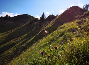
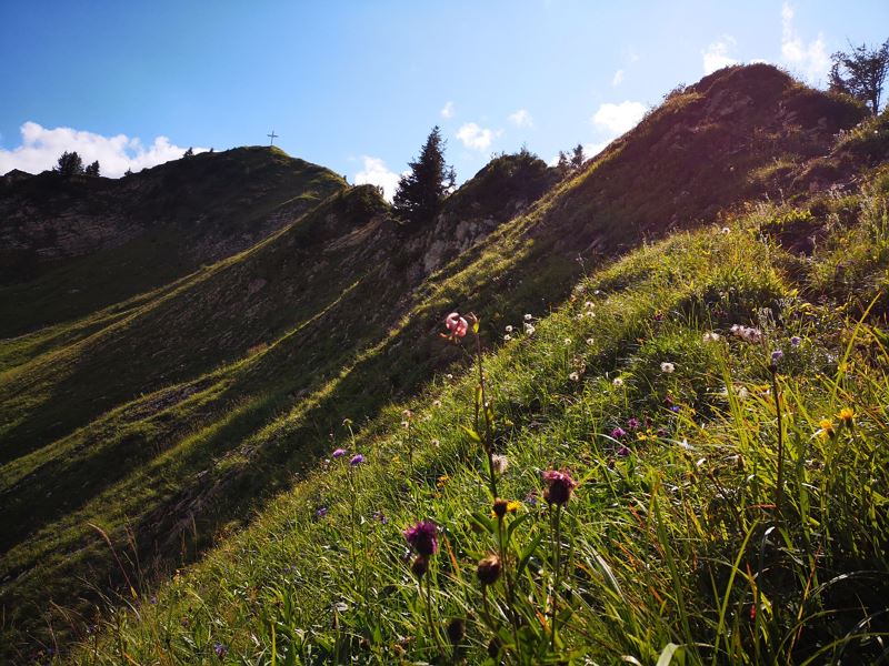 Blick zurück auf den Gipfel der Gerenspitze
 Wanderwegenetz Vorarlberg


Equipment
Ankle-high hiking boots with treaded soles, sun and rain protection, snack, filled water bottle and first aid equipment, possibly hiking poles. Mobile phone for emergencies.
Route description
Start: St. Gerold
End: St. Gerold
St. Gerold - Plankenberg - Plansott Alpe - Schäfis - Gerenspitze, 1,871 m - Walserkamm - Gaßner Alpe - Gaßnerberg - St. Gerold Emergency services
140 Alpine Emergencies throughout Austria
144 Alpine Emergencies Vorarlberg
112 Euro emergency call (works with any mobile phone/network)