
Wiesweg via Labom | Raggal
Distance5,7 km
Elevation gain155 m
Negative altitude154 m
LevelEasy
Duration1:45 h
Distance5,7 km
Elevation gain155 m
LevelEasy
Duration1:45 h
A short moment
Loading map...
Wiesweg via Labom | Raggal
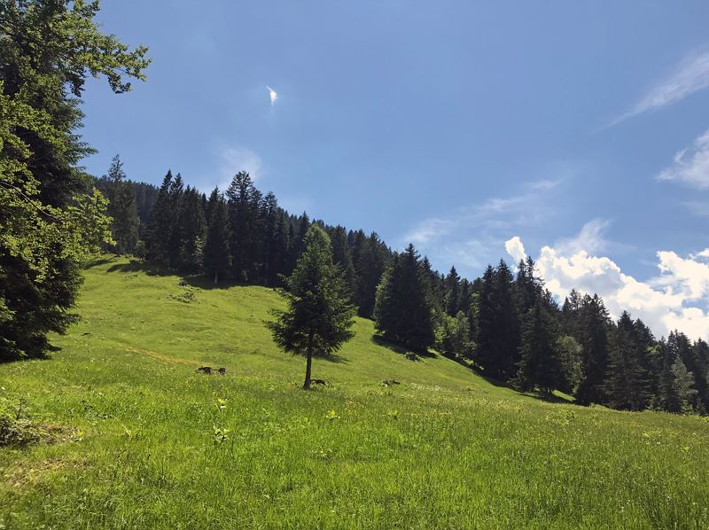
From the Raggal church, the path between house no. 68b and the church wall leads slightly uphill past the vicarage to the Rapiert estate road. There you cross the road and walk along the Manatöbele estate road to the "Lärchenhof". From here you reach the meadow path, which leads through a small piece of forest past hay barns, litter and meagre meadows. From time to time, the path can be a little damp, so we recommend good shoes. At the end of the meadow path, the trail continues on the Ludescherberg goods path, slightly uphill, to the fork in the path. There, take the upper path that leads to the Grüneck parcel. A magnificent view over the Walgau region to the Swiss mountains awaits you. At house no. 80 you reach the Labomweg, which again leads past numerous hay barns, rough pastures and litter meadows. The hiking trail ends at the Rapiert parcel (highest farm in Raggal). Now the trail descends on the Rapiert farm track in several bends to the starting point.
 Über Wiesenweg Richtung Ludescherberg
 Wanderwegenetz Vorarlberg


Equipment
Ankle-high hiking boots with treaded soles, sun and rain protection, snack, filled water bottle and first aid kit, hiking poles are recommended. Mobile phone in case of emergency.
Route description
Start: Church, Raggal
End: Church, Raggal
Church Raggal - Lärchenhof - Wiesweg - direction Ludescherberg - Grüneck (wonderful view!) - Labomweg - Rapiert - church RaggalProperties
- Scenic
- Round trip
- Family-friendly
- Flora
Emergency services
140 Alpine Emergencies throughout Austria
144 Alpine Emergencies Vorarlberg
112 Euro emergency call (works with any mobile phone/network)