Walserweg | Thüringerberg - Damüls

Distance20,0 km

Elevation gain1165 m

Negative altitude633 m

LevelDifficult

Duration8:00 h

Distance20,0 km

Elevation gain1165 m

LevelDifficult

Duration8:00 h

A short moment

Loading map...

Walserweg | Thüringerberg - Damüls

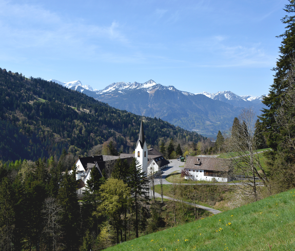
It begins in Thüringerberg at the entrance to the valley and leads straight to the cultural center of the Walser valley, to the Provost's Monastery in St. Gerold with its beautiful monastery garden. Further on it goes to the small village of Blons, where the path splits for the first time: You can either hike over the massive dam wall of the Lutz power plant to Raggal on the other side of the valley or directly to Sonntag, where you again have two options. One signpost points to the beautifully situated village of Buchboden, the other to Fontanella-Faschina. From Faschina the path leads down to Damüls - also a Walser community. There you will find the end of the Walser trail.

Author's recommendation

Whether the Brandnertal or Laternsertal, the Tannberg or the Grosse Walsertal and Kleinwalsertal, they all share a unique common history that began with the great migration of the Walsers in the 13th century. Embark on an exciting journey.

Equipment

Sturdy shoes, warm clothing, rain and sun protection, snack and filled water bottle as well as hiking poles are recommended. Mobile phone in case of emergency.

Route description

Start: Thüringerberg

End: Damüls

Thüringerberg - St. Gerold - Propstei St. Gerold - Blons - Direction Garsella - Sonntag- Sonntag Seeberg - Fontanella - Faschina - Damüls

Properties

  • Linear route
  • Scenic
  • Refreshment stops available
  • Cultural/historical interest

Emergency services

140 Alpine Emergencies throughout Austria

144 Alpine Emergencies Vorarlberg

112 Euro emergency call (works with any mobile phone/network)