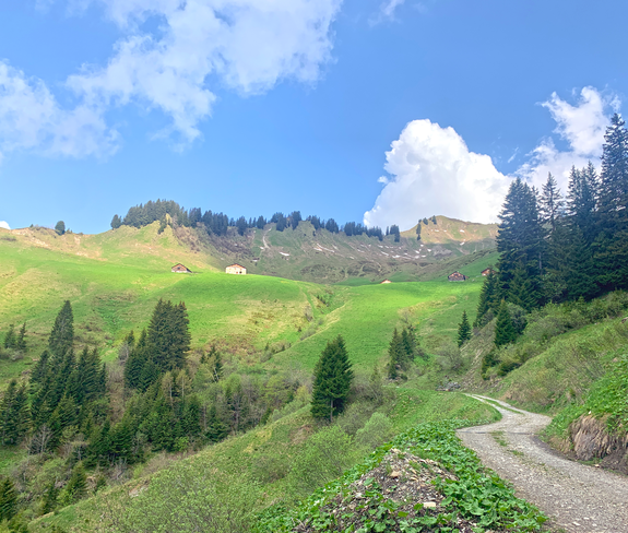
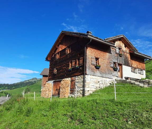
Along the Walserkamm | Blons - St. Gerold

Moderate
Refreshments
Panoramic
From A to B
Wanderung
06:00 h duration
17,5 km Length
1683 m Highest point
887 m Lowest point
610 m Ascent
875 m Descent
Condition
Difficulty
Result
Landscape

Tour description

Very beautiful hike from alp to alp on the Walser ridge for enduring hikers.
Description

From Blons, take the hiking trail to Oberblons and continue to Alpe Sentum. From there, the tour leads along a high-level trail to Plansott Alpe and on to Gaßner Alpe. The route then descends along the goods road to St. Gerold. The hike along the Walser ridge promises fabulous views.

Approach

maps.google.at

Public transport

Bus line 570, bus stop "Blons Gemeindezentrum"

Timetable enquiry online at www.vmobil.at

Parking

Public parking in Blons

Directions

Alpbus to Sentum alp - Sentum alp - mountain path - Plansotta alp - mountain path - Gaßner alp - via Güterweg to St. Gerold.

Safety instructions

EMERGENCY CALL
140 Alpine emergencies throughout Austria
144 Alpine emergencies Vorarlberg
112 Euro emergency call (works with any mobile phone/network)

www.alpenregion-vorarlberg.com/sicherheitstipps-wandern

Equipment

Ankle-high mountain boots with treaded soles, sun and rain protection, snack, filled water bottle and first aid equipment. Mobile phone for emergencies.

Tips

Stop by and take a rest at the traditional alps: Sentum alp, Plansott alp and Gaßner alp.

Destination

St. Gerold

Starting Point

Blons

Sicherheitstipps für Wandern in Vorarlberg

EN NOTRUF:

EN 140 - Alpine Notfälle österreichweit 

EN 144 - Alpine Notfälle Vorarlberg 

EN 112 - Euro-Notruf (funktioniert mit jedem Handy/Netz) 

Characteristics
Tour type Wanderung
Difficulty Moderate
Elevation profile
Best time of year
Jan
Feb
Mar
Apr
May
Jun
Jul
Aug
Sep
Oct
Nov
Dec